Into The Mountains—Hiking With Ryuta Furuichi
One of Niseko's most experienced guides and his recommendations for hikers of all levels.

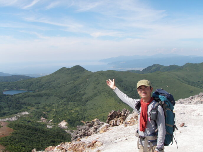
Ryuta Furuichi is one of many who has fallen in love with the Niseko area for its beautiful mountains and trails. Born and raised in Chiba, it was twenty-four years ago when he first moved to Kutchan Town. Like many in the area, he makes his living helping others experience his passions—hiking and exploring nature.
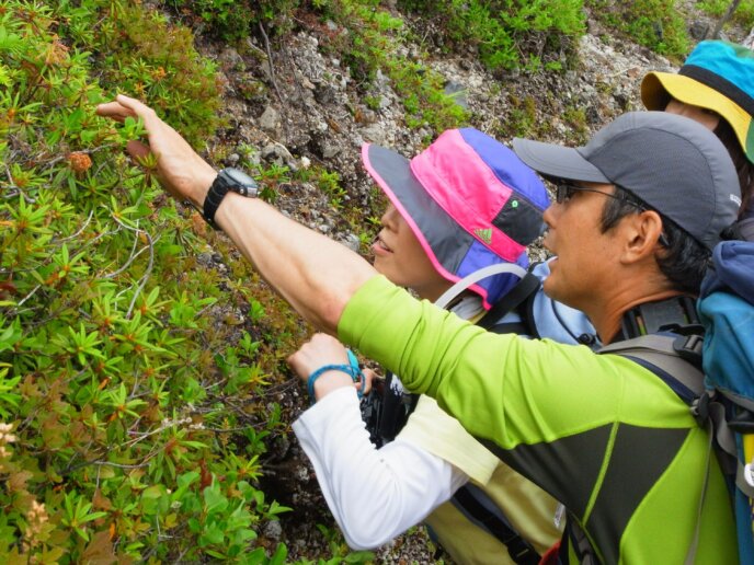
Ryuta started his own mountaineering and guiding company, Coyote, here in Niseko. They offer a range of winter programs as well as some incredible summer guiding and hiking options, too. Last summer, we were able to go on one of Coyote’s Eco Hikes and were introduced to much of the plant and animal life along the course.
With all of his knowledge of the trails and courses and the vegetation and wildlife, Ryuta is truly an authority in his field. As hiking and trekking are such popular activities here in Niseko, we asked Ryuta if we could hear a bit more about his story and get a few recommendations to help those interested in hiking here in Niseko.

When did you first start hiking?
When I was a child, I went out with my grandfather to one of the mountains not far from Tokyo called Mt Okutama. It isn’t very large, so it was a great place to start as a child. That was probably my first hike and when I started becoming interested in nature and the outdoors.
I studied agriculture in university as it tied into my interest in nature. My studies led me to the realisation that Hokkaido was the last remaining prefecture with an abundance of natural forests, untouched by mankind. Upon graduating, I worked as a salaryman at an agricultural business for six years. I spent two years in Asahikawa City with that company before being transferred to the Kutchan Town office.
Why did you want to start your own guiding company?
When I left the agriculture company, I joined the NAC team as a winter and summer guide. After a couple of years, I started working with a few more companies who also specialised in outdoor activities. All of these different experiences led me to want to create my own company.
Why did you choose Niseko as your base?
There are a number of places throughout Hokkaido and even in the Tohoku region which are famous for mountains, but I felt that the people in Niseko were the most open-minded. In combination with the amazing natural features in the area, I felt that this made Niseko the ideal place for what I wanted to do.
Since starting Coyote, have there been any particularly interesting surprises along the way?
I guess the biggest surprise for me has been how many like-minded people I have met and befriended since coming here. It has been pretty incredible to meet so many people who share my interests in mountaineering and being out in the wilderness.
Where To Hike—Course Recommendations

Clouds reflecting beautifully across the surface of Shinsen Numa.
Beginner Course—Shinsen Numa
Numa means marsh or swamp in Japanese. Shinsen Numa is a natural marshland that is tens of thousands of years old. There are a number of different marshes that make up the area and they are all connected by trails.
Course Details:
This marshland course is great for absolutely anyone, from elementary school students to the elderly. There are long stretches of boardwalk to make getting across the marshland easy and safe.
The course takes an average of about two or three hours to complete and is about a 30 minute drive from Niseko-Hirafu. This can be extended by exploring more of the interconnected marshland trails. The highest elevation point is 750 metres above sea level, but the course is primarily flat. Ryuta’s recommended start time is 8:00 am so that you finish with much of the day still ahead of you.

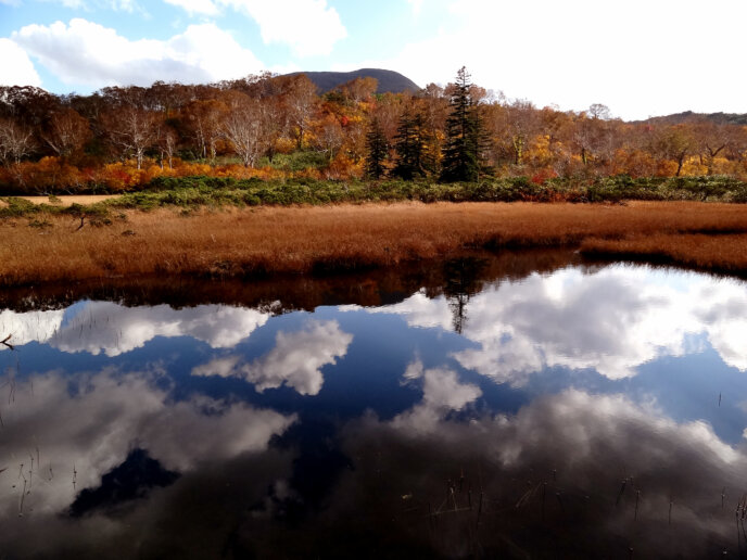
Autumn at Kagami Numa, sky and tree reflecting in the still pond.
Intermediate Course—Kagami Numa and Mt Annupuri
Kagami means mirror and that is just what the water surface of Kagami Numa is like. It is particularly stunning when the autumn colours are reflected upon the surface. This is a great course for those seeking a good view. The top of Mt Annupuri has an excellent view of Mt Yotei, along the Niseko Panorama line, and as far as the Sea of Japan—so long as the weather is cooperating.
Course Details:
This is not a loop course and the starting point is over by the Hanazono resort golf courses and the finish point is by Goshiki Onsen. The course takes about seven hours with time for lunch and it is about 30 minutes from both the start and finish point to Niseko-Hirafu. If you were to turn back from the Annupuri peak it would be about a nine-hour course. The highest point of elevation is 1,308 metres above sea level. Ryuta’s recommended start time is 8:00 am to ensure you get back before it starts to get dark.

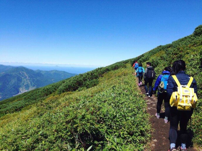
Hiking up Mt Yotei on a perfect summer day.
Advanced Course—Mt Yotei (Kutchan Start)
Mt Yotei is one of the more difficult courses in the area due to the length and altitude of the climb. If you aren’t an experienced climber or in fairly good shape, it can be quite tough on your legs and knees. That said, it is also the most iconic mountain to climb in the Niseko area.
Course Details:
The Kutchan starting point is located by Lake Hangetsu and is Ryuta’s recommendation in the summer as you can avoid some of the harsher morning sunlight during your climb. For those less fit, the Makkari start is easier as the trail is not as steep. Being the tallest in the area, the view from the peak is excellent in good weather. The return course takes between 10 and 14 hours depending on your ability, starting point and the amount of time you spend resting along the way. You can circle the peak or descend into the crater, but this will add time to your hike. The highest point of elevation is 1,898 metres above sea level. Ryuta’s recommended start time is 5:00 am, before or at sunrise. As this is a long hike, you will want enough time to ensure you can make it up and down in one day.
You can turn it into an overnight experience if you are interested as well. You will need to check out the Kutchan Tourism website here to reserve a spot in the mountain hut at the top.


